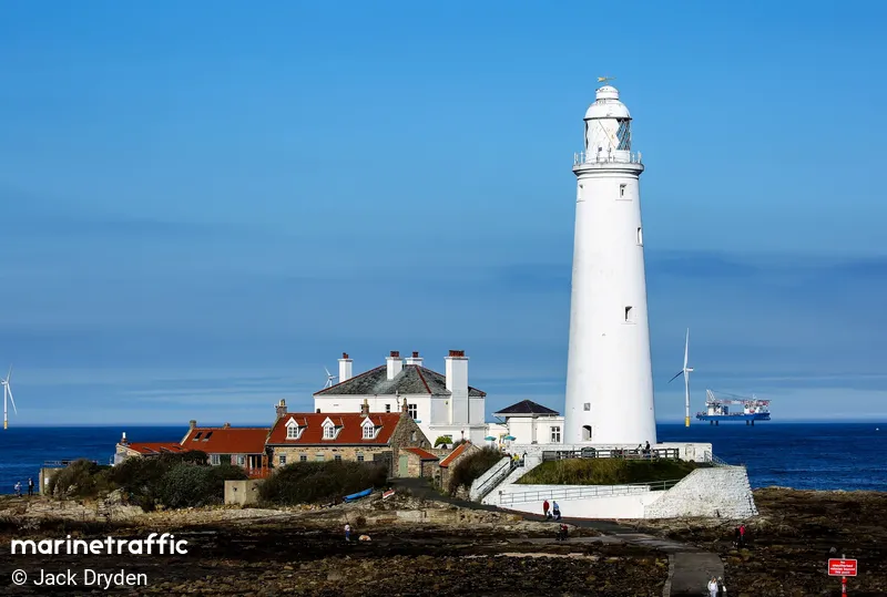
St. Marys
Description : A small rocky tidal island is linked to the mainland by a short concrete causeway which is submerged at high tide.
Type:
Lighthouse
Type de feu:
Flashing (Fl)
Nombre d"éclats
:
2
Couleur Claire:
White / W
Rythme:
20s
Hauteur du foyer:
9m
portée du feu:
17M
Emplacement du feu:
Whitley Bay North East England
Année de Construction:
1898
Operationnel:
Oui
inactif depuis l"année
1984
Aspect et structure du feu
Tapered cylindrical Tower/ Stone
Couleur de la structure
White
Navires dans la proximité
| Nom du navire | Distance | relèvement |
|---|---|---|
| WANSBECK | 3.26 | 332 |
| HST GRACE | 3.26 | 330 |
| ENDURANCE BH1 | 3.28 | 331 |
| EEMS DOVER | 3.34 | 330 |
| VOLE AU VENT | 3.37 | 331 |
| TOMINI MISTRAL | 3.39 | 121 |
| BLYTH SPIRIT | 3.4 | 333 |
| PRINCESS ROYAL | 3.63 | 333 |
| IVY MAY | 3.79 | 172 |
| NORTH SHIELDS | 3.81 | 171 |
| CT VECTOR | 3.84 | 173 |
| RNLI LIFEBOAT D 829 | 3.86 | 166 |
| SPIRIT OF THE TYNE | 4.07 | 177 |
| WIND TRANSFER | 4.32 | 330 |
| PRIDE OF THE TYNE | 4.46 | 176 |
| ARAGORN | 4.48 | 182 |
| CEMCOASTER | 4.53 | 330 |
| AVA ANNE SN6 | 4.58 | 179 |
| PURE GALLUS | 4.58 | 182 |
| NOVA | 4.58 | 182 |


