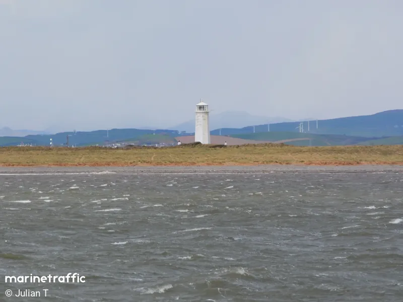
Walney
Beschrijving : The structure was built to replace a smaller wooden lighthouse that was constructed by the Lancaster Quay Commissioners in 1790. The original lighthouse was destroyed by fire in 1803 and was swiftly replaced by the lighthouse of today. The lighthouse was designed by engineer E. Dawson.
Type:
Lighthouse
Type Schittering:
Flashing (Fl)
Number of Flashes:
1
Lichtkleur:
White / W
Interval van Schittering:
15s
Brandhoogte:
21m
Lichtbereik:
23M
Locatie / Gebied / Eiland:
NorthWest England
Bouwjaar:
1804
Operational:
Ja
Vorm & Materiaal
Octagonal tower with balcony and lantern / stone
Kleur van Bouwwerk
White
Nearby Vessels
| Scheepsnaam | Afstand | Bearing |
|---|---|---|
| RNLI LIFEBOAT 16 08 | 1.43 | 5 |
| WINDCAT 41 | 3.05 | 327 |
| HST LONDON | 3.19 | 328 |
| DISCOVERY | 3.21 | 328 |
| PROVIDENCE | 3.22 | 329 |
| TORCH | 3.23 | 330 |
| AMS ADVENTURE | 3.23 | 330 |
| DISCOVERER | 3.24 | 330 |
| CARBOCLYDE | 3.25 | 328 |
| NJORD KITTIWAKE | 3.28 | 328 |
| BOARDER | 3.3 | 328 |
| PACIFIC HERON | 3.31 | 337 |
| NJORD SKUA | 3.32 | 328 |
| MANOR INITIATIVE | 3.34 | 328 |
| NJORD FREYR | 3.36 | 328 |
| SEA 1 BARROW STBD DATA BUOY | 3.76 | 213 |
| RIX PANTHER | 4.36 | 236 |
| LUNE DEEP BUOY | 6.96 | 191 |
| IGUAZU | 9.17 | 95 |
| STENA SCOTIA | 9.26 | 95 |


