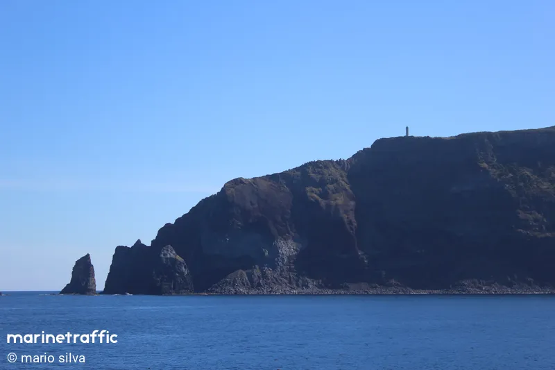
Ponta Dos Rosais
Beschrijving : Automated and Telecontroled to the Lighthouse of TOPO.
Type:
Lighthouse
Type Schittering:
Flashing (Fl)
Number of Flashes:
1
Lichtkleur:
White / W
Interval van Schittering:
10s
Brandhoogte:
259m
Locatie / Gebied / Eiland:
Azores, Ilha de São Jorge
Operational:
Ja
Nearby Vessels
| Scheepsnaam | Afstand | Bearing |
|---|---|---|
| SATO | 6.73 | 130 |
| JOAO VAZ CORTE REAL | 6.77 | 130 |
| NG ENDURANCE | 6.88 | 131 |
| FLOR DO PICO | 12.46 | 219 |
| ALVARO DE ORNELAS | 13.37 | 182 |
| PONTA DO SOL | 13.38 | 182 |
| ESPIRITO SANTO | 16.53 | 219 |
| ESTRELA MARINHA | 16.54 | 219 |
| CRISTIANO S | 16.62 | 219 |
| CECILIA A | 16.64 | 219 |
| IOLAIR | 17.7 | 61 |
| TOLUI | 18.93 | 135 |
| MESTRE JAIME FEIJO | 19.35 | 229 |
| GILBERTO MARIANO | 19.35 | 229 |
| ASTRON W | 19.36 | 229 |
| DIOGO DE TEIVE | 19.38 | 228 |
| ILHA DA MADEIRA | 19.68 | 228 |
| ILHA DE SAO LUIS | 19.7 | 228 |
| CANMAR | 19.75 | 228 |
| DRACO | 19.78 | 229 |


