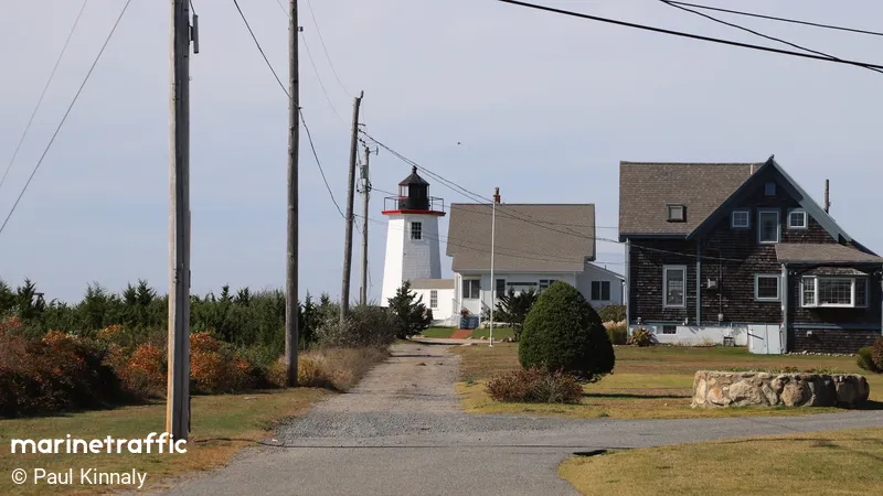
Wings Neck
Beschrijving : Once an important lighthouse that marked the entrance channel for the Cape Cod Canal. The Cleveland East Ledge Light made the Wings Neck Light redundant. Sold by the government in 1947, used as a private home for many years, now available for rent.
Type:
Lighthouse
Brandhoogte:
10m
Locatie / Gebied / Eiland:
Southeastern Massachusetts
Inactive since Year
1945
Nearby Vessels
| Scheepsnaam | Afstand | Bearing |
|---|---|---|
| SONADOR | 1.89 | 96 |
| HALCYON | 1.96 | 95 |
| QUIET WATERS | 2.06 | 97 |
| BEACON 1 | 2.13 | 96 |
| BLUE STREAK | 2.27 | 151 |
| CAPE FUSION | 2.46 | 151 |
| CRUZ N CAST | 2.76 | 103 |
| KATHERINE E | 3.17 | 6 |
| ALADDIN | 3.39 | 8 |
| VANISH | 3.52 | 9 |
| AMAZING GRACE | 3.53 | 9 |
| ALLWRIGHT | 3.54 | 9 |
| REEL FRIENDS | 3.55 | 9 |
| LIL BITE | 3.61 | 8 |
| KNOT EASY | 3.62 | 8 |
| RANGER | 3.83 | 25 |
| EMILY ELLEN | 5.05 | 293 |
| MAY SEA MAY | 5.08 | 293 |
| HIGHLANDER | 5.09 | 294 |
| TONNO | 5.11 | 294 |

