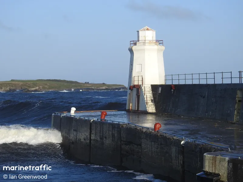
Wick Harbour Breakwater
Beschrijving : The harbor construction began in 1803. The harbor consists of three basins the Outer and Inner Harbors on the southern side and River Harbor, used for commercial vessels. Breakwaters protect all three. Wick Harbor Lighthouse is located on the South Pier in the area of Pulteney town. Pulteney town developed on the southern side of the river for the fishing industry.
Type:
Lighthouse
Lichtkleur:
White-Red-Green Sectors / WRG
Brandhoogte:
12m
Lichtbereik:
12M
Locatie / Gebied / Eiland:
Wick
Bouwjaar:
1897
Operational:
Ja
Vorm & Materiaal
Octagonal /Stone
Kleur van Bouwwerk
White
Nearby Vessels
| Scheepsnaam | Afstand | Bearing |
|---|---|---|
| RNLI LIFEBOAT 14 20 | 0.42 | 341 |
| ANDAXI | 0.45 | 337 |
| CD VENTURE | 0.47 | 335 |
| BOUDICEA | 0.48 | 332 |
| SIENNA | 0.49 | 338 |
| NJORD ZENITH | 0.5 | 335 |
| ISABELLA FORTUNA | 0.5 | 334 |
| EDEN ROSE | 0.51 | 335 |
| GXS VALTOS | 0.52 | 334 |
| SEACAT RAINBOW | 0.53 | 334 |
| SAR1 RNLI WICK 8.2V | 2 | 106 |
| DELTA DAWN A | 2.22 | 60 |
| BEATRICE WF NW | 9.63 | 133 |
| BEN ARKLE WK171 | 10.58 | 220 |
| VTS 2320838 | 12.03 | 151 |
| BEATRICE WF SW | 13.73 | 169 |
| HORIZON GEOBAY | 13.88 | 115 |
| MAERSK IDAHO | 13.89 | 15 |
| MORAY OWF NORTH | 15.2 | 124 |
| GV SOLSTICE | 15.38 | 173 |


