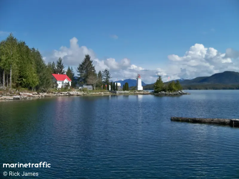
Dryad Point
Description : Junction of west side of Lama Pass and Seaforth Channel.
Rodzaj:
Lighthouse
Type of Flashing:
Occulting (Occ)
Number of Flashes:
1
Light Color:
White-Red Sectors / WR
Interval of Flashing:
5s
Focal Height:
11.5m
Location / Area / Island:
British Columbia
Operational:
Yes
Shape & Material
Tapered square tower made of concrete
Color of Structure
white
Nearby Vessels
| Nazwy statków | Dystans | Bearing |
|---|---|---|
| SHEARWATER | 0.49 | 348 |
| MR PUNT | 1.36 | 323 |
| ENCORE | 1.67 | 171 |
| CAPE KUPER | 1.87 | 194 |
| CCG C16469BC | 1.88 | 194 |
| GULF RIVAL | 2.02 | 161 |
| CLATSE BAY | 2.08 | 161 |
| KETA 12 | 2.1 | 161 |
| BV 30 | 2.11 | 161 |
| HARRY 3 | 2.12 | 162 |
| KWAHNESUM | 2.2 | 159 |
| KNOT TO WORRY | 2.38 | 154 |
| ARDENT | 2.39 | 158 |
| SALISH DREAM | 2.39 | 158 |
| TUULI | 2.4 | 158 |
| MIASILA | 4.01 | 188 |
| LIBERTY | 5.41 | 306 |
| KENNICOTT | 6.36 | 172 |
| CAPTAIN KIDD | 14.06 | 63 |
| THUNDER 1 | 14.97 | 333 |


